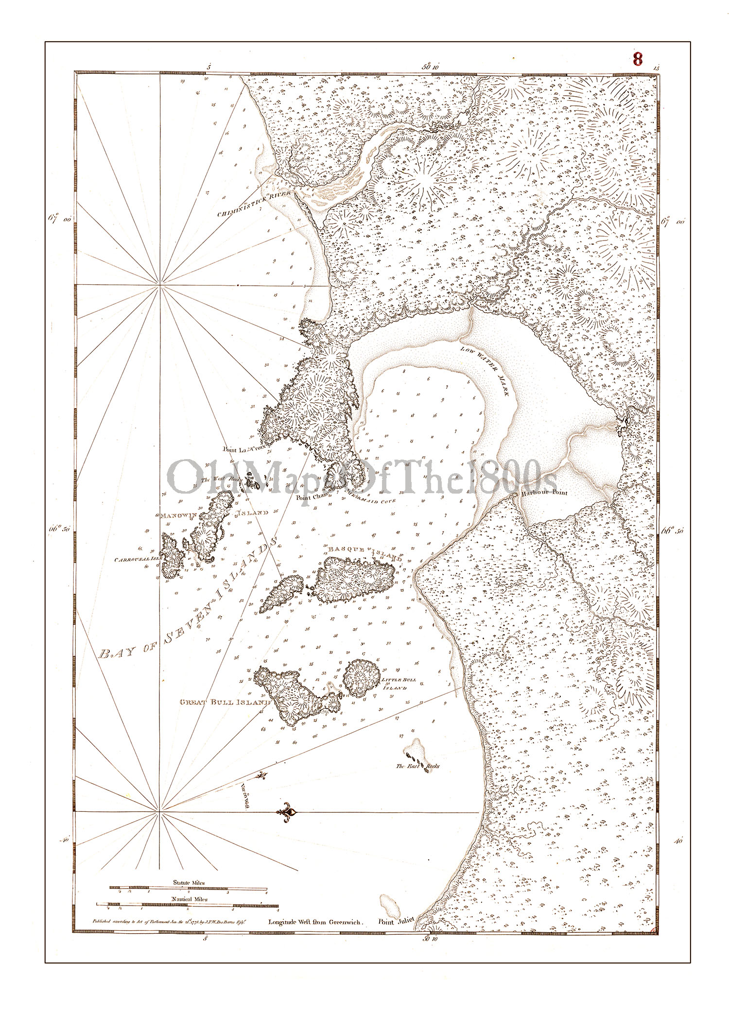
Bay of Seven Islands, Canada in 1778 - Vintage Map, Antique Map, Reproduction, Framable Map, Fine Art, wall map. St. Lawrence, navigation
SKU:
$35.00
$35.00 - $85.00
per item
Sepia tone map of Bay of Seven Islands, Canada in 1778. This would make a great teaching tool hanging on a classroom wall ... this was an important navigational aid for this part of the St. Lawrence Seaway. Fine detail is remarkable.
Printed on heavy duty, premium archival matte paper.
Now also available as a Canvas Gallery Wrap!
Your print will not have the "OldMapsOfThe1800s" watermark.
NOTE: We can print smaller than what is listed, but any text will be hard to read; though it still will make a cool piece of art for your wall. If you would like a smaller size, just contact me and I will put up a listing at your desired size and send you a link to that item. LARGER SIZES THAN WHAT IS LISTED MAY ALSO BE AVAILABLE (depending on the map); contact me with your special request and I will do all I can to accommodate you.