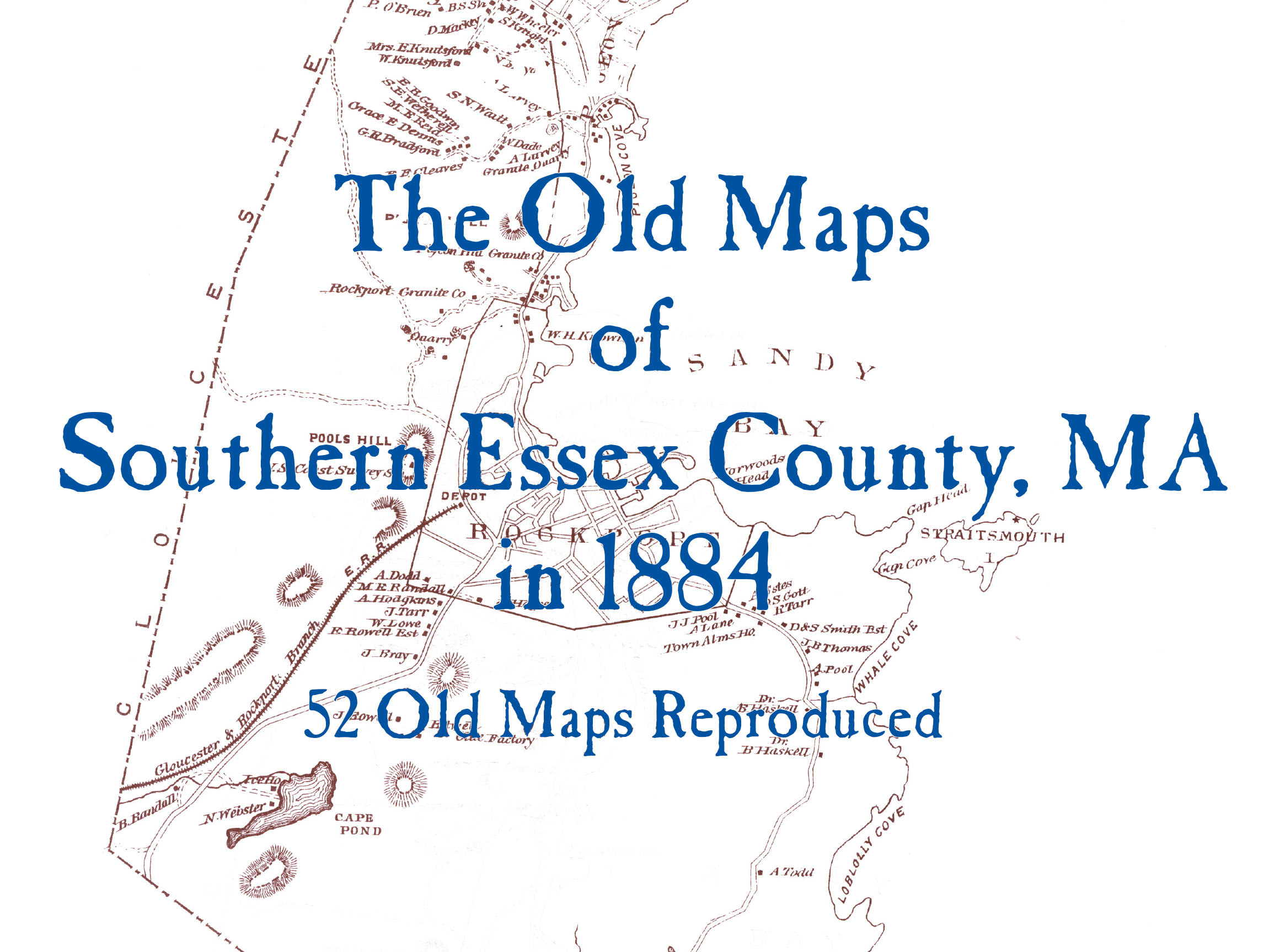
The Old Maps of Southern Essex County, Massachusetts in 1884
This collection of map reproductions is part of a 25 book series. These pages contain 51 old maps of Southern Essex County, Massachusetts as it was in 1884, as compiled by George H. Walker & Company, Boston, 1884 and D. G. Beers & Co., Philadelphia, 1872. The reason the vintages are mixed is that in both atlases portions did not include cadastral (names) information. We have tried to utilize both atlases for the best collection. In spite of this, maps shown here in Salem and Lynn contain no names.. Each map has been carefully retouched, when necessary, preserving the owners’ names and the location of most of the buildings in the county at that date. See who lived where, find old railroads, schools, cemeteries, churches, and more with these detailed maps of cities, villages, and neighborhoods. Wire bound books lay flat for easy viewing.