The Old Maps of the 1800s
  • Home
  • Antique Maps
  • About
  • Contact
  • Home
  • Antique Maps
  • About
  • Contact
  • Antique Maps
  • >
  • Maine
  • >
  • The Old Maps of Kennebec County, Maine in 1879

The Old Maps of Kennebec County, Maine in 1879

SKU: Kennebec Cty
$16.95
$16.95
Unavailable
per item

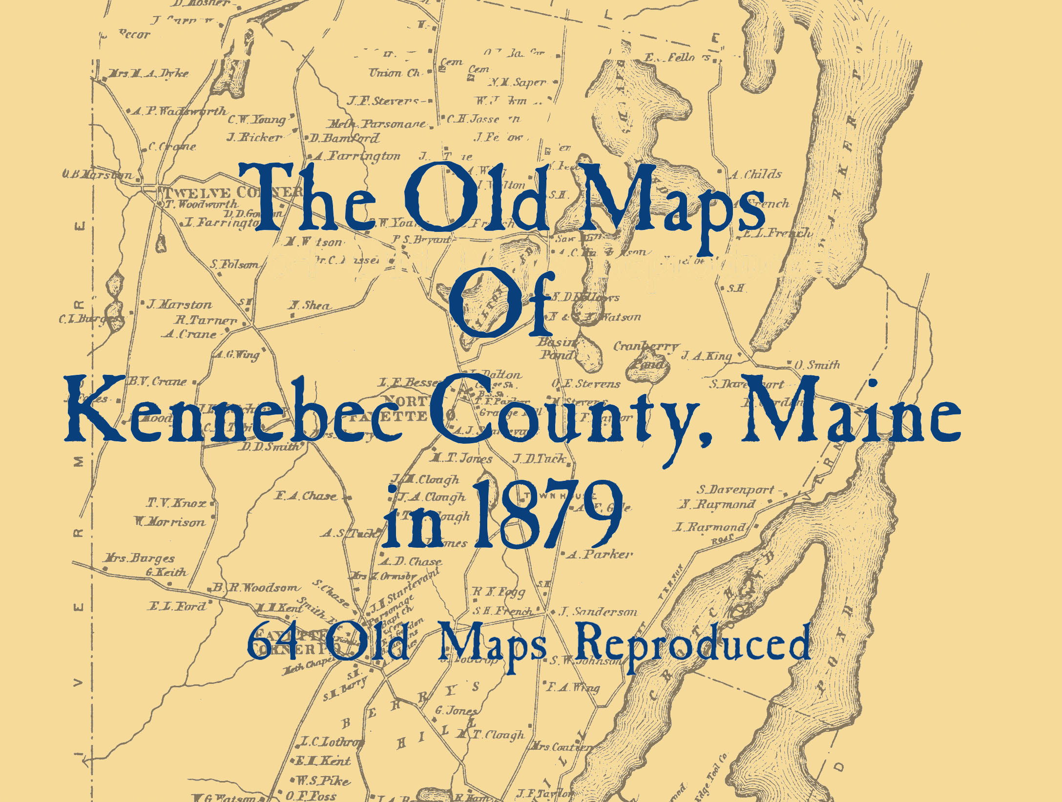
This collection of map reproductions is part of a 25 book series. These pages contain 64 old maps of Kennebec County, Maine in 1879, as compiled by Caldwell & Halfpenny, Philadelphia. Each map has been carefully retouched, when necessary, preserving the owners’ names and the location of most of the buildings in the county at that date.See who lived where, find old railroads, schools, cemeteries, churches, and more with these detailed maps of cities, villages, and neighborhoods. Wire bound books lay flat for easy viewing.

Add to Cart

Location

What Our Clients Are Saying

 Very pleased with the quality of this print. I had purchased the same map from another site previously and could see right away that this one was clearer and on higher quality paper. Seller was very helpful in selecting the appropriate print type. He is obviously very knowledgeable and passionate about his work and product. Excellent communication and prompt shipping. Thank you!