The Old Maps of the 1800s
  • Home
  • Antique Maps
  • About
  • Contact
  • Home
  • Antique Maps
  • About
  • Contact
  • Antique Maps
  • >
  • Maine
  • >
  • The Old Maps of Oxford County, Maine in 1858

The Old Maps of Oxford County, Maine in 1858

SKU: Oxford Cty
$16.95
$16.95
Unavailable
per item
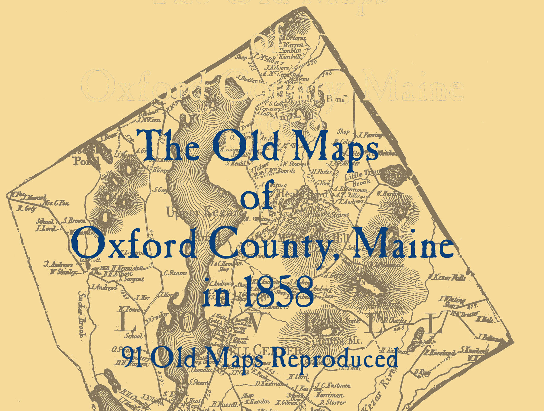
This collection of map reproductions is part of a 25 book series. These pages contain 91 old maps of Oxford County, Maine in 1858, as compiled and published on the wall maps by Gillette and Huntington. Some soiled or damaged areas and towns with heavily colored borders have not reproduced quite as clearly. When possible, retouching has been done and nothing has been changed. See who lived where, find old railroads, schools, cemeteries, churches, and more with these detailed maps of cities, villages, and neighborhoods. Wire bound books lay flat for easy viewing.
Add to Cart

Location

What Our Clients Are Saying

 Very pleased with the quality of this print. I had purchased the same map from another site previously and could see right away that this one was clearer and on higher quality paper. Seller was very helpful in selecting the appropriate print type. He is obviously very knowledgeable and passionate about his work and product. Excellent communication and prompt shipping. Thank you!