Bethel, Connecticut in 1879 - Bird's Eye View Map, Aerial, Panorama, Vintage, Antique, Giclée, Fine Art, Wall Art, History - copy
SKU:
$31.00
$31.00 - $90.00
per item
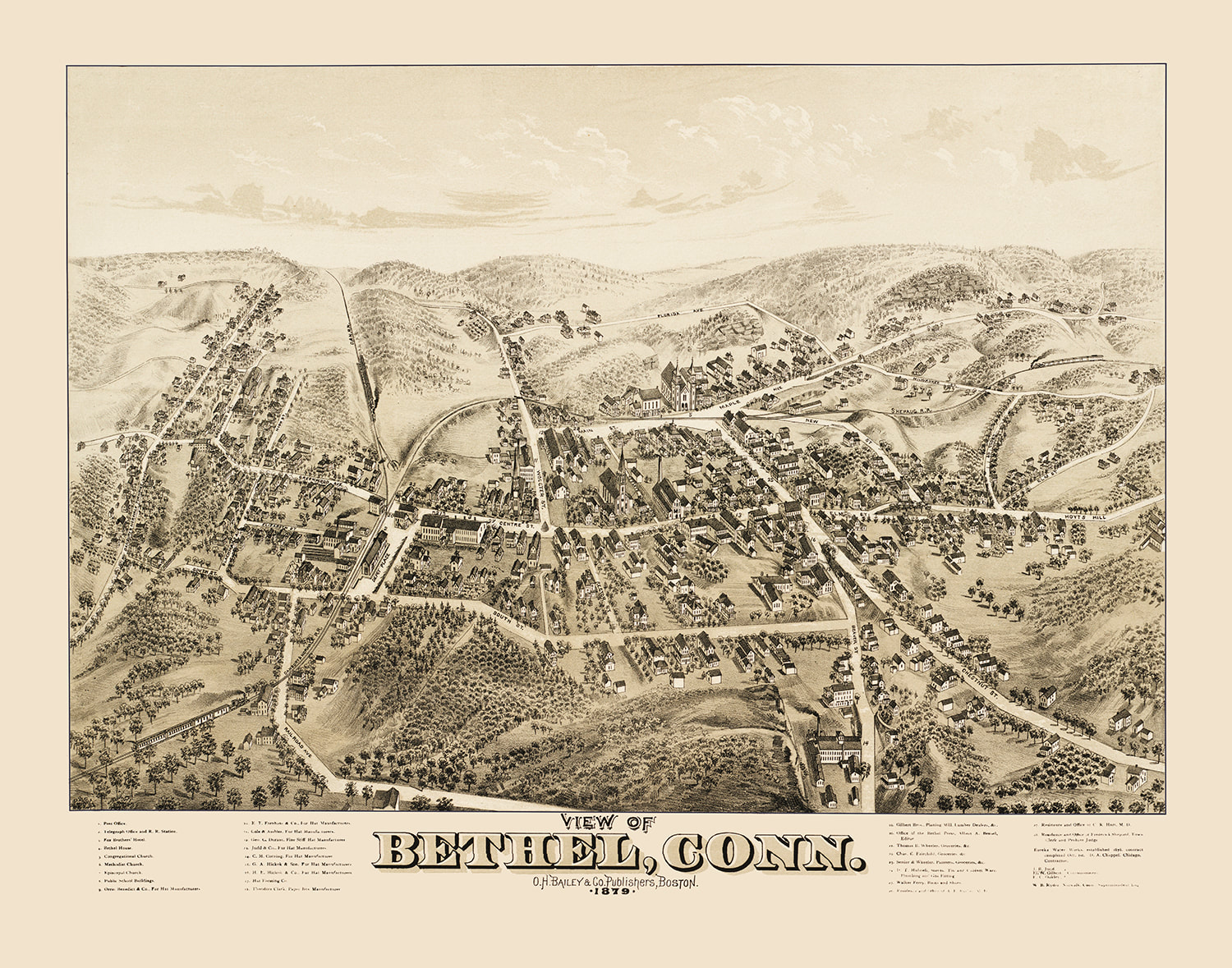
Brilliant, sepia tone, fine art map of Bethel, Connecticut in 1879.
Perspective map is not to scale but gives a good relative representation of the buildings and the streets in the late 19th century. Fine detail is remarkable.
Printed on heavy duty, premium archival matte paper.
Now also available as a Canvas Gallery Wrap!
Your print will not have the "OldMapsOfThe1800s" watermark.
NOTE: The original size of these maps is quite large, so on the smaller sizes, some or all of the text maybe hard or impossible to read; though it still will make a cool piece of art. If you desire a specific size which is not listed, please contact us and we will do our utmost to accommodate you.